Alachua County GIS Newsletter

2026 Fall Edition
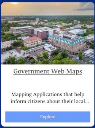
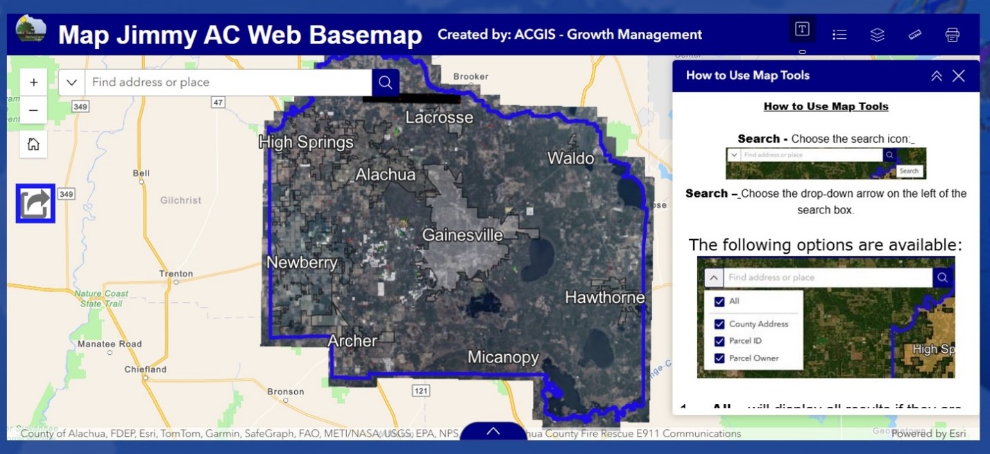
The Alachua County GIS CenterPoint HUB website was created to give users better access to information for the County. This is done by providing interactive Web Map applications that contain a main source of data (i.e. Commissioner Boundaries) to help the end user get the information much faster and concentrates on one main source of information instead of multiple layers.
In addition to Web Maps there are Story maps this combines maps with narrative text, Dashboards that can display geographic information and data in a single screen, a Data Portal, which allows the end user the ability to download GIS datasets and PDF maps. The CenterPoint HUB website enables users to get more access to different information types from around the County.